maps without New Zealand
Here’s another
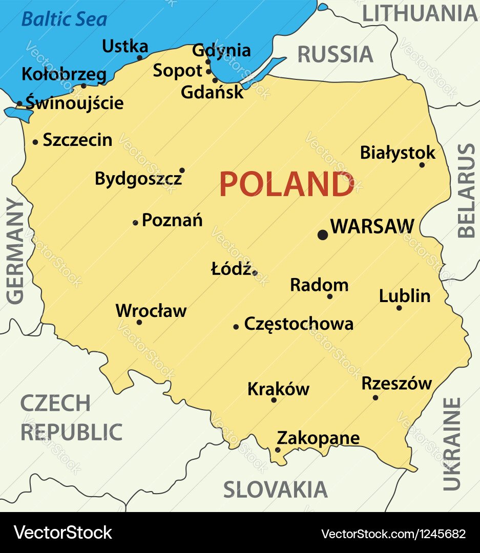
I thought we gave Russia to Czechia
Wow, Russia is much smaller than I thought!
Northern Ireland is free!
Wales too, it just hasn’t gotten very far away yet. Still bridges to Cornwall I guess…
It really bothers me that green is used for Wales instead of Ireland.
England should be white, Wales should be red and Ireland should be green. Only Scotland was coloured correctly.
Ireland needs to be orange
It was the biggest mixup that you have ever seen.
My father, he was orange and me mother, she was green.
Some how these maps always forget the Falkland Islands.
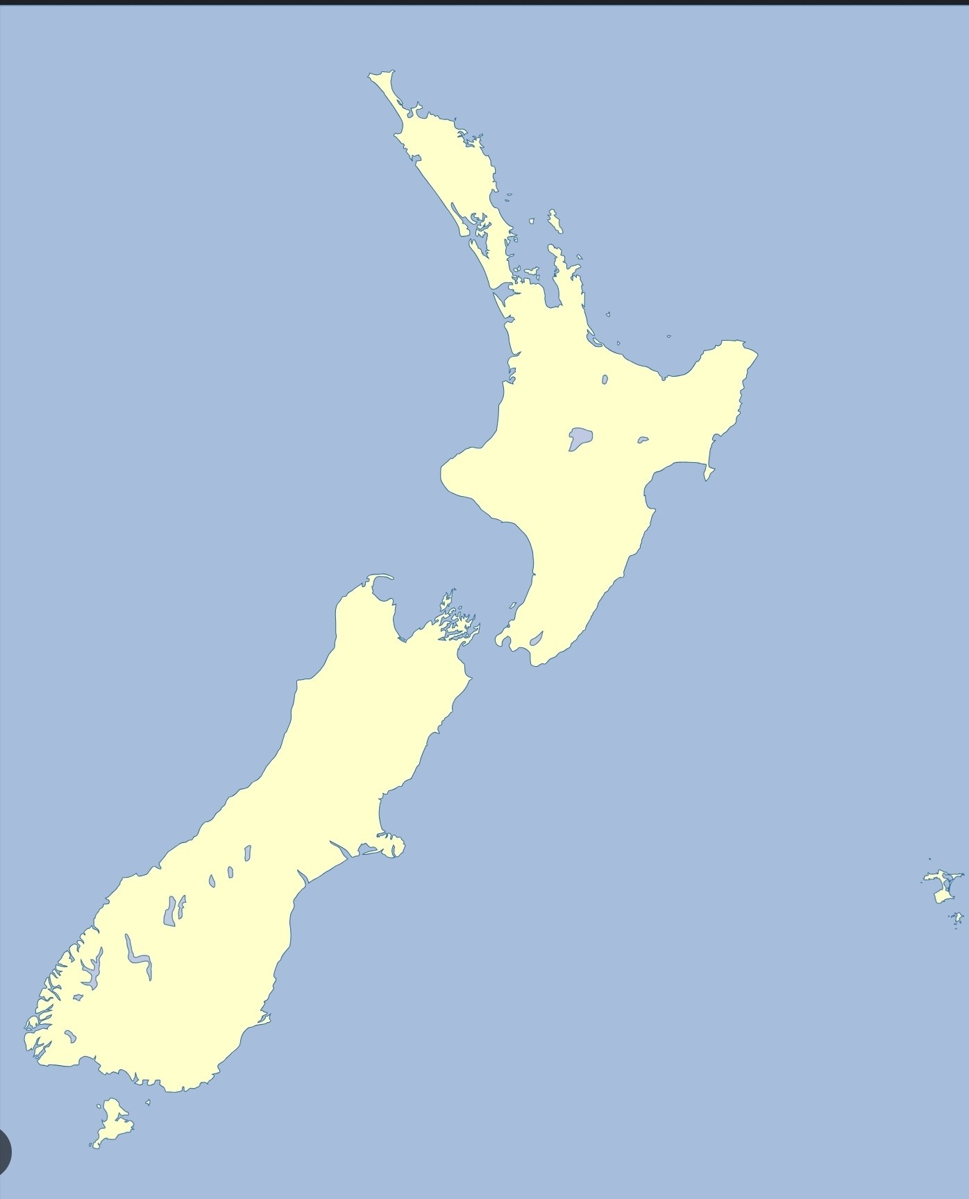
What do you mean? It’s right there, at the Achilles’ heel of the boot
Sardinia looks so lonely without Corsica.
Ah, a good laid out map. Now things are starting to make sense, more later.
Malta is the Isle of Man
Looked twice before I noticed, life was better then
As a stereotypical American, I thought Corsica was Northern Ireland and Sardinia was Ireland. Thanks for clearing up my confusion.
But which one is the United British Isles?
Where’s South Ireland though
Corsica, except Corsica is a French department
By Americans for Americans
